
On this page, you can download a free printable map of South Dakota, located in the Midwestern region of the United States. This map is perfect for school projects, homework, or personal use at home.
South Dakota became the 40th state of the United States on November 2, 1889. It borders North Dakota to the north, Minnesota and Iowa to the east, Nebraska to the south, and Wyoming and Montana to the west. With a population of about 900,000 people, South Dakota is known for its rich Native American heritage, the iconic Mount Rushmore, and its wide open plains and rolling hills.
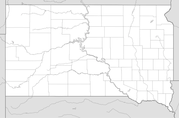
This South Dakota map highlights key features such as the Missouri River, which runs through the state, and the Black Hills region in the west, home to scenic parks and historical landmarks. The map comes without labels or latitude/longitude lines, making it ideal for educational use and classroom activities.
Designed for easy printing on Letter-size paper, this free South Dakota map PDF is available in both color and black & white versions. Download your copy today and use it in class or at home.

South Dakota State Map
Find more content on Mentes Liberadas
That’s all for this article. I hope you enjoyed it.
You can make a donation to Mentes Liberadas through our Ko-Fi account. This way, you’ll be supporting the site, helping us create more content, resources, and online tools.
Thank you for taking the time to read.
See you in the next article on Mentes Liberadas.