
On this page, you can download a free printable map of Tennessee, located in the southeastern region of the United States. This map is perfect for school projects, homework, or personal use at home.
Tennessee became the 16th state of the United States on June 1, 1796. It borders Kentucky and Virginia to the north, North Carolina to the east, Georgia, Alabama, and Mississippi to the south, and Arkansas and Missouri to the west, separated by the Mississippi River. With a population of over 7 million people, Tennessee is known for its rich musical heritage, scenic landscapes, and vibrant cities like Nashville and Memphis.
This Tennessee map highlights the different regions of the state and shows major geographical features, including the Appalachian Mountains in the east and the Mississippi River along the western border.
The map comes without labels or latitude/longitude lines, making it ideal for educational activities.
Designed for easy printing on Letter-size paper, this free Tennessee map PDF is available in both color and black & white versions. Download your copy today and use it in the classroom or at home.
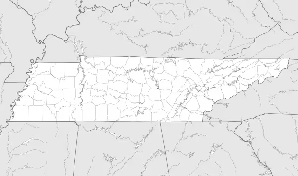

Tennessee State Map
Find more content on Mentes Liberadas
That’s all for this article. I hope you enjoyed it.
You can make a donation to Mentes Liberadas through our Ko-Fi account. This way, you’ll be supporting the site, helping us create more content, resources, and online tools.
Thank you for taking the time to read.
See you in the next article on Mentes Liberadas.