
On this page, you can download a free printable map of Idaho, located in the Northwestern region of the United States. This map is perfect for school projects, homework, or personal use at home.
Idaho became the 43rd state of the United States on July 3, 1890. It borders Washington and Oregon to the west, Nevada and Utah to the south, Montana and Wyoming to the east, and the province of British Columbia to the north in Canada. With a population of about 1.9 million, Idaho is known for its rugged mountains, pristine lakes, and vast forests. It’s also famous for its agriculture—especially potatoes—and for its outdoor recreation opportunities.
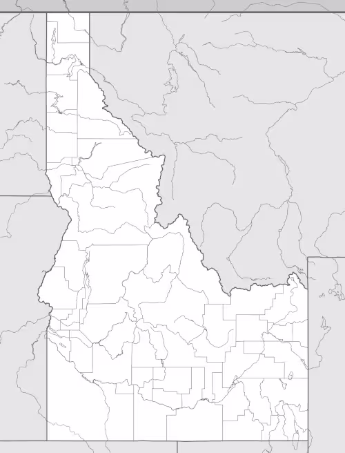
This Idaho map highlights the state’s diverse geography, from the Rocky Mountains in the east to the Snake River Plain in the south and the deep canyons of the west, including Hells Canyon, the deepest gorge in North America. Major rivers such as the Snake River and Salmon River are also featured. The map comes without labels or latitude/longitude lines, making it ideal for educational activities.
Designed for easy printing on Letter-size paper, this free Idaho map PDF is available in both color and black & white versions. Download your copy today and use it in the classroom or at home.

Idaho State Map
Find more content on Mentes Liberadas
That’s all for this article. I hope you enjoyed it.
You can make a donation to Mentes Liberadas through our Ko-Fi account. This way, you’ll be supporting the site, helping us create more content, resources, and online tools.
Thank you for taking the time to read.
See you in the next article on Mentes Liberadas.