
On this page, you can download a free printable map of North Dakota, located in the Upper Midwest region of the United States. This map is perfect for school projects, homework, or personal use at home.
North Dakota became the 39th state of the United States on November 2, 1889. It borders Canada to the north, Minnesota to the east, South Dakota to the south, and Montana to the west. With a population of roughly 780,000 residents, North Dakota is known for its expansive prairies, agricultural production, and the recent growth of its energy sector.
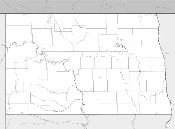
This North Dakota map highlights key geographic features such as the Missouri River, the Red River Valley along the eastern border, and the varied terrain of the Badlands in the west. The map comes without labels or latitude/longitude lines, making it ideal for educational activities and classroom use.
Designed for easy printing on Letter-size paper, this free North Dakota map PDF is available in both color and black & white versions. Download your copy today and use it in class or at home.

North Dakota State Map
Find more content on Mentes Liberadas
That’s all for this article. I hope you enjoyed it.
You can make a donation to Mentes Liberadas through our Ko-Fi account. This way, you’ll be supporting the site, helping us create more content, resources, and online tools.
Thank you for taking the time to read.
See you in the next article on Mentes Liberadas.