
On this page, you can download a free printable map of West Virginia, located in the Appalachian region of the United States. This map is ideal for school projects, homework, classroom activities, or personal reference at home.
West Virginia became the 35th state of the United States on June 20, 1863, during the Civil War. It borders Pennsylvania to the north, Maryland to the northeast, Virginia to the southeast, Kentucky to the southwest, and Ohio to the northwest, with the Ohio River forming much of its western boundary.
With a population of approximately 1.75 million people, West Virginia is known for its mountainous terrain, extensive forests, and communities closely connected to regional traditions. Its capital and largest city is Charleston.
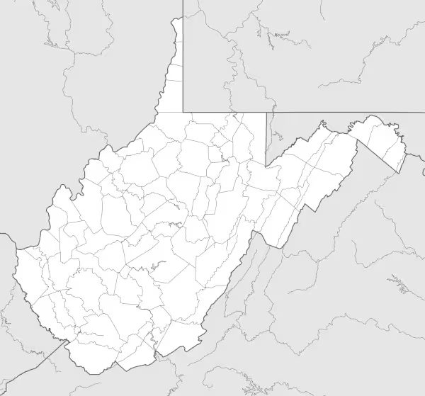
This West Virginia map highlights the major regions of the state and shows key waterways, including the Ohio River, the Kanawha River, and the Potomac River. The map is provided without labels or latitude/longitude lines, making it suitable for educational activities such as coloring, labeling practice, and classroom exercises.
Designed for easy printing on standard Letter-size paper, this free West Virginia map PDF is available in both color and black & white versions. Download your copy and use it at home or in school projects.

West Virginia State Map
Find more content on Mentes Liberadas
That’s all for this article. I hope you enjoyed it.
You can make a donation to Mentes Liberadas through our Ko-Fi account. This way, you’ll be supporting the site, helping us create more content, resources, and online tools.
Thank you for taking the time to read.
See you in the next article on Mentes Liberadas.