
On this page, you can download a free printable map of Vermont, located in the northeastern region of the United States, within New England. This map is perfect for school projects, homework, or personal use at home.
Vermont became the 14th state of the United States on March 4, 1791, after having existed for years as an independent republic known as the Vermont Republic. It borders Canada (Québec) to the north, New Hampshire to the east, Massachusetts to the south, and New York to the west. With a population of around 650,000 people, Vermont is known for its rural landscapes, historic towns, fall foliage, and strong tradition of maple syrup production.
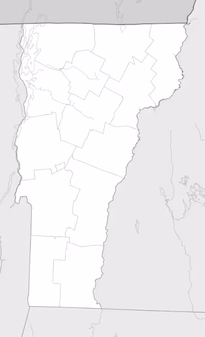
This Vermont map highlights the state’s major natural features, including the Green Mountains that run north to south through its center, as well as key rivers and Lake Champlain along its western border. The map comes without labels or latitude/longitude lines, making it ideal for educational activities.
Designed for easy printing on Letter-size paper, this free Vermont map PDF is available in both color and black & white versions. Download your copy today and use it in the classroom or at home.

Vermont State Map
Find more content on Mentes Liberadas
That’s all for this article. I hope you enjoyed it.
You can make a donation to Mentes Liberadas through our Ko-Fi account. This way, you’ll be supporting the site, helping us create more content, resources, and online tools.
Thank you for taking the time to read.
See you in the next article on Mentes Liberadas.