
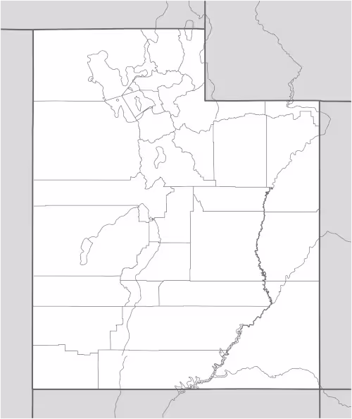
On this page, you can download a free printable map of Utah, located in the Western region of the United States. This map is perfect for school projects, homework, or personal use at home.
Utah became the 45th state to join the United States on January 4, 1896. It borders Idaho to the north, Wyoming to the northeast, Colorado to the east, Arizona to the south, and Nevada to the west. In its southeastern corner, Utah also touches New Mexico at the famous Four Corners monument. With a population of about 3.4 million people, Utah is known for its breathtaking landscapes, strong sense of community, and rapid economic growth.
This Utah map highlights the state’s diverse geography, ranging from the snow-capped Wasatch Mountains near Salt Lake City to the dramatic red rock formations of southern Utah, home to world-famous national parks such as Zion, Bryce Canyon, Arches, and Canyonlands. The Great Salt Lake, one of the largest saltwater lakes in the world, and the Colorado River, which carves through its desert canyons, are among the state’s most iconic natural features.
Designed for easy printing on Letter-size paper, this free Utah map PDF is available in both color and black & white versions. Download your copy today and use it in the classroom or at home to learn more about this stunning and geographically diverse state.

Utah State Map
Find more content on Mentes Liberadas
That’s all for this article. I hope you enjoyed it.
You can make a donation to Mentes Liberadas through our Ko-Fi account. This way, you’ll be supporting the site, helping us create more content, resources, and online tools.
Thank you for taking the time to read.
See you in the next article on Mentes Liberadas.