
On this page, you can download a free printable map of Massachusetts, located in the northeastern region of the United States. This map is perfect for school projects, homework, or personal use at home.
Massachusetts became the 6th state of the United States on February 6, 1788. It borders New Hampshire and Vermont to the north, New York to the west, Connecticut and Rhode Island to the south, and the Atlantic Ocean to the east. With a population of around 7 million, Massachusetts is known for its rich colonial history, world-renowned universities, and strong cultural and technological influence.
This Massachusetts map highlights the different regions of the state and shows major waterways, including the Charles River, the Merrimack River, and Massachusetts Bay. The map comes without labels or latitude/longitude lines, making it ideal for educational activities.
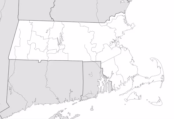
Designed for easy printing on Letter-size paper, this free Massachusetts map PDF is available in both color and black & white versions. Download your copy today and use it in the classroom or at home.

Massachusetts State Map
Find more content on Mentes Liberadas
That’s all for this article. I hope you enjoyed it.
You can make a donation to Mentes Liberadas through our Ko-Fi account. This way, you’ll be supporting the site, helping us create more content, resources, and online tools.
Thank you for taking the time to read.
See you in the next article on Mentes Liberadas.