
Here you’ll find a map with the political divisions of Italy, available for free download and printing.
This PDF-format map is an educational tool designed for students, teachers, and anyone interested in learning more about the country’s geography.
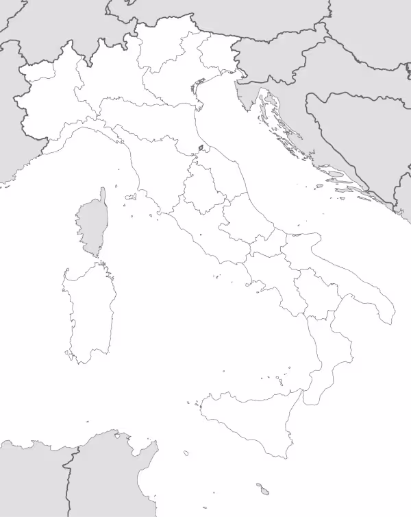
The map shows international borders as well as the boundaries of Italy. The map does not label regions or large cities, and doesn’t include rivers.
Italy is a country located in southern Europe, occupying the Italian peninsula that extends into the Mediterranean Sea. It borders France, Switzerland, Austria, and Slovenia to the north, while being surrounded by several seas: the Adriatic to the east, the Ionian to the south, and the Tyrrhenian to the west. Its territory also includes the islands of Sicily and Sardinia, along with numerous smaller islands.
The Italian landscape is dominated by two major mountain ranges: the Alps in the north, forming a natural barrier with the rest of Europe, and the Apennines, which run through the peninsula from north to south like a backbone.
Major rivers include the Po, the country’s longest river crossing the fertile Po Valley, the Tiber flowing through Rome, and the Arno running through Florence. Italy also has several active volcanoes, with Mount Vesuvius, Mount Etna, and Stromboli being the most renowned.
Politically, Italy is organized into 20 regions, five of which enjoy special autonomous status: Sicily, Sardinia, Trentino-Alto Adige, Friuli-Venezia Giulia, and Aosta Valley. These regions are subdivided into provinces and municipalities. The country has been a parliamentary republic since 1946, when the monarchy was abolished through a referendum.
Italy’s most important cities include Rome, the capital and political center, Milan as the economic and financial powerhouse, Naples in the south, Turin known for its automotive industry, and Florence as the cradle of the Renaissance. Other significant cities are Venice, Bologna, Genoa, and Palermo. Italy’s population stands at approximately 59 million inhabitants, making it one of the most populous countries in the European Union.

Map of Italy
Find more content on Mentes Liberadas
That’s all for this article. I hope you enjoyed it.
You can make a donation to Mentes Liberadas through our Ko-Fi account. This way, you’ll be supporting the site, helping us create more content, resources, and online tools.
Thank you for taking the time to read.
See you in the next article on Mentes Liberadas.