
On this page, you can download a free printable map of Louisiana, located in the southern region of the United States, along the Gulf of Mexico. This map is perfect for school projects, homework, or personal use at home.
Louisiana became the 18th state of the United States on April 30, 1812. It borders Texas to the west, Arkansas to the north, Mississippi to the east, and the Gulf of Mexico to the south. With a population of about 4.6 million, Louisiana is known for its unique mix of French, African, Spanish, and Creole cultures, as well as its vibrant music, cuisine, and festivals such as Mardi Gras.
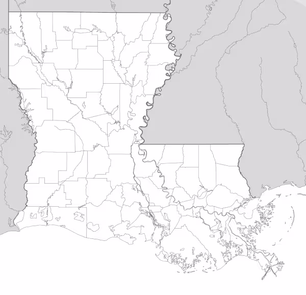
This Louisiana map highlights the state’s distinctive geography, including its vast wetlands, river deltas, and bayous, shaped by the Mississippi River, which flows through the state before reaching the Gulf. The map comes without labels or latitude/longitude lines, making it ideal for educational activities.
Designed for easy printing on Letter-size paper, this free Louisiana map PDF is available in both color and black & white versions. Download your copy today and use it in the classroom or at home.

Louisiana State Map
Find more content on Mentes Liberadas
That’s all for this article. I hope you enjoyed it.
You can make a donation to Mentes Liberadas through our Ko-Fi account. This way, you’ll be supporting the site, helping us create more content, resources, and online tools.
Thank you for taking the time to read.
See you in the next article on Mentes Liberadas.