
On this page, you can download a free printable map of Iowa, located in the Midwestern region of the United States. This map is perfect for school projects, homework, or personal use at home.
Iowa became the 29th state of the United States on December 28, 1846. It borders Minnesota to the north, Wisconsin and Illinois to the east across the Mississippi River, Missouri to the south, and Nebraska and South Dakota to the west across the Missouri and Big Sioux Rivers. With a population of around 3.2 million, Iowa is known for its fertile farmland, strong agricultural economy, and important role in U.S. presidential politics through the Iowa caucuses.
The state’s geography is primarily composed of rolling plains and fertile valleys, shaped by ancient glaciers and river systems. Iowa’s landscape features vast stretches of corn and soybean fields, gentle hills, and scenic waterways, including the Mississippi River on the east and the Missouri River on the west. Its temperate climate supports agriculture and gives the state a distinct four-season cycle.
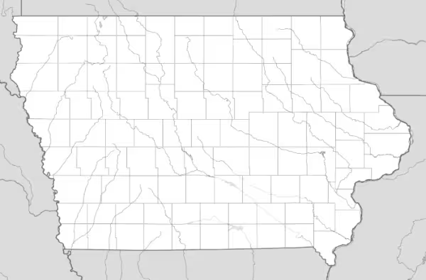
This Iowa map highlights the state’s major natural features and regions, showing its rivers and characteristic flat terrain. The map comes without labels or latitude/longitude lines, making it ideal for educational use and classroom activities.
Designed for easy printing on Letter-size paper, this free Iowa map PDF is available in both color and black & white versions. Download your copy today and use it at school or at home.

Iowa State Map
Find more content on Mentes Liberadas
That’s all for this article. I hope you enjoyed it.
You can make a donation to Mentes Liberadas through our Ko-Fi account. This way, you’ll be supporting the site, helping us create more content, resources, and online tools.
Thank you for taking the time to read.
See you in the next article on Mentes Liberadas.