
Here you’ll find a map with the political divisions of Colombia, available for free download and printing.
This PDF-format map is an educational tool designed for students, teachers, and anyone interested in learning more about the country’s geography.
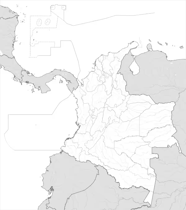
The map shows international borders as well as the boundaries of Colombia. The map does not label regions or large cities.
Colombia is located in northwestern South America, making it the only country in the region with coastlines on both the Caribbean Sea and the Pacific Ocean. It borders Panama to the northwest, Venezuela and Brazil to the east, Peru and Ecuador to the south, and is separated from Costa Rica by maritime boundaries in the Caribbean. The country covers an area of approximately 1.14 million square kilometers, ranking it among the largest nations in South America.
Colombia has a vast and complex river system, largely influenced by its mountainous terrain and tropical climate. The most important rivers include the Magdalena, the country’s principal river and a key transportation route, the Cauca, the Atrato, and major tributaries of the Amazon and Orinoco basins. These rivers are essential for agriculture, transportation, hydroelectric power generation, and biodiversity.
The geography of Colombia is highly diverse, characterized by three branches of the Andes Mountains that run north to south, as well as coastal plains, rainforests, savannas, and highland plateaus. The country includes the Amazon rainforest in the southeast, the Llanos grasslands in the east, and fertile inter-Andean valleys. This geographic diversity results in a wide range of climates, from tropical lowlands to cold alpine environments.
Administratively, Colombia is divided into 32 departments and the Capital District of Bogotá, which serves as the national capital. The country has a population of approximately 52 million people, with most inhabitants living in urban areas such as Bogotá, Medellín, Cali, and Barranquilla, while large rural regions remain less densely populated.

Map of Colombia
Find more content on Mentes Liberadas
That’s all for this article. I hope you enjoyed it.
You can make a donation to Mentes Liberadas through our Ko-Fi account. This way, you’ll be supporting the site, helping us create more content, resources, and online tools.
Thank you for taking the time to read.
See you in the next article on Mentes Liberadas.