
On this page, you can download a free printable map of South Carolina, located in the southeastern region of the United States. This map is perfect for school projects, homework, or personal use at home.
South Carolina became the 8th state of the United States on May 23, 1788. It borders North Carolina to the north, Georgia to the south and west (across the Savannah River), and the Atlantic Ocean to the east. With a population of over 5.4 million people, the state is known for its rich history, beautiful coastal landscapes, and warm Southern hospitality.
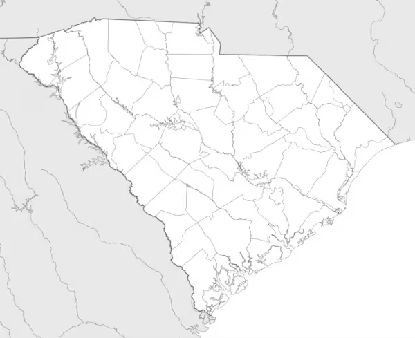
This South Carolina map highlights the state’s main regions, from the sandy coastal plains and beaches to the rolling hills of the Piedmont and the foothills of the Blue Ridge Mountains. It also shows major rivers, including the Savannah River and the Santee River. The map comes without labels or latitude/longitude lines, making it ideal for educational activities.
Designed for easy printing on Letter-size paper, this free South Carolina map PDF is available in both color and black & white versions. Download your copy today and use it in the classroom or at home.

South Carolina State Map
Find more content on Mentes Liberadas
That’s all for this article. I hope you enjoyed it.
You can make a donation to Mentes Liberadas through our Ko-Fi account. This way, you’ll be supporting the site, helping us create more content, resources, and online tools.
Thank you for taking the time to read.
See you in the next article on Mentes Liberadas.