
On this page, you can download a free printable map of Rhode Island, located in the New England region of the northeastern United States. This map is suitable for school projects, homework, or personal use at home.
Rhode Island became the 13th state of the United States on May 29, 1790. It borders Massachusetts to the north and east, Connecticut to the west, and the Atlantic Ocean to the south through Narragansett Bay. With a population of about 1.1 million, Rhode Island is known for its coastal landscapes, rich colonial history, and cultural institutions. The state capital and largest city is Providence, a historic center of education, arts, and industry.
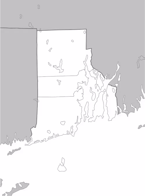
This Rhode Island map highlights the state’s coastal features and island areas, as well as its general land boundaries. The map comes without labels or latitude/longitude lines, making it ideal for educational activities and custom annotations.
Designed for easy printing on Letter-size paper, this free Rhode Island map PDF is available in both color and black-and-white versions. Download your copy today and use it in the classroom or at home.

Rhode Island State Map
Find more content on Mentes Liberadas
That’s all for this article. I hope you enjoyed it.
You can make a donation to Mentes Liberadas through our Ko-Fi account. This way, you’ll be supporting the site, helping us create more content, resources, and online tools.
Thank you for taking the time to read.
See you in the next article on Mentes Liberadas.