
On this page, you can download a free printable map of New York, located in the Northeastern region of the United States. This map is perfect for school projects, homework, or personal use at home.
New York became the 11th state of the United States on July 26, 1788. It borders Vermont, Massachusetts, and Connecticut to the east; New Jersey and Pennsylvania to the south; and shares an international border with Canada to the north. It also has coastlines along Lake Erie, Lake Ontario, and the Atlantic Ocean. With a population of around 19.5 million, New York is known for its cultural influence, economic power, and iconic landmarks such as Niagara Falls, the Adirondack Mountains, and New York City.
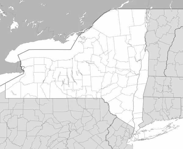
This New York map highlights the state’s main regions and shows important waterways, including the Hudson River, Lake Ontario, and Lake Erie. The map comes without labels or latitude/longitude lines, making it ideal for educational activities.
Designed for easy printing on Letter-size paper, this free New York map PDF is available in both color and black & white versions. Download your copy today and use it in the classroom or at home.

New York State Map
Find more content on Mentes Liberadas
That’s all for this article. I hope you enjoyed it.
You can make a donation to Mentes Liberadas through our Ko-Fi account. This way, you’ll be supporting the site, helping us create more content, resources, and online tools.
Thank you for taking the time to read.
See you in the next article on Mentes Liberadas.