
On this page, you can download a free printable map of Nevada, located in the Western region of the United States. This map is perfect for school projects, homework, or personal use at home.
Nevada became the 36th state of the United States on October 31, 1864, earning it the nickname “The Silver State” due to its historic silver mining industry. It borders Oregon and Idaho to the north, Utah to the east, Arizona to the southeast, and California to the west.
With a population of about 3.1 million, Nevada is known for its vast deserts, striking mountain ranges, and world-famous cities such as Las Vegas and Reno. While much of the state is sparsely populated, its unique geography—part of the Great Basin and the Mojave Desert—offers breathtaking natural landscapes and outdoor recreation opportunities.
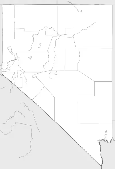
This Nevada map highlights the state’s arid valleys, rugged mountains, and important landmarks, including Lake Tahoe, the Hoover Dam, and the Colorado River. The map comes without labels or latitude/longitude lines, making it ideal for educational activities and classroom use.
Designed for easy printing on Letter-size paper, this free Nevada map PDF is available in both color and black & white versions. Download your copy today and use it for learning, teaching, or exploring the geography of the Silver State.

Nevada State Map
Find more content on Mentes Liberadas
That’s all for this article. I hope you enjoyed it.
You can make a donation to Mentes Liberadas through our Ko-Fi account. This way, you’ll be supporting the site, helping us create more content, resources, and online tools.
Thank you for taking the time to read.
See you in the next article on Mentes Liberadas.