
On this page, you can download a free printable map of Montana, located in the northwestern United States. This map is suitable for school projects, homework, or personal use at home.
Montana became the 41st state of the United States on November 8, 1889. It borders Canada to the north, Idaho to the west, Wyoming to the south, and North Dakota and South Dakota to the east. With a population of about 1.1 million, Montana is known for its expansive landscapes, including the Rocky Mountains in the west and the Great Plains in the east. The state capital is Helena, while Billings is the largest city and a major regional economic center.
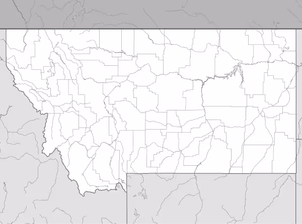
This Montana map highlights the state’s major geographic features, including mountain ranges, plains, and key rivers. The map is provided without labels or latitude/longitude lines, making it useful for educational activities and custom annotations.
Designed for easy printing on Letter-size paper, this free Montana map PDF is available in both color and black-and-white versions. Download your copy today for use in the classroom or at home.

Montana State Map
Find more content on Mentes Liberadas
That’s all for this article. I hope you enjoyed it.
You can make a donation to Mentes Liberadas through our Ko-Fi account. This way, you’ll be supporting the site, helping us create more content, resources, and online tools.
Thank you for taking the time to read.
See you in the next article on Mentes Liberadas.