
On this page, you can download a free printable map of Minnesota, located in the Midwestern region of the United States. This map is perfect for school projects, homework, or personal use at home.
Minnesota became the 32nd state of the United States on May 11, 1858. It borders Canada to the north, Wisconsin to the east, Iowa to the south, and North Dakota and South Dakota to the west. With a population of around 5.7 million, Minnesota is known for its thousands of lakes, beautiful forests, and high quality of life. The state’s capital is Saint Paul, while Minneapolis forms part of the Twin Cities metropolitan area, the largest in the state.
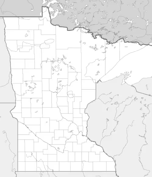
This Minnesota map highlights the state’s major geographic features, including its numerous lakes and rivers, such as the Mississippi River, which begins at Lake Itasca. The map comes without labels or latitude/longitude lines, making it ideal for educational activities.
Designed for easy printing on Letter-size paper, this free Minnesota map PDF is available in both color and black & white versions. Download your copy today and use it in the classroom or at home.

Minnesota State Map
Find more content on Mentes Liberadas
That’s all for this article. I hope you enjoyed it.
You can make a donation to Mentes Liberadas through our Ko-Fi account. This way, you’ll be supporting the site, helping us create more content, resources, and online tools.
Thank you for taking the time to read.
See you in the next article on Mentes Liberadas.