
Here you’ll find a map with the political divisions of Slovakia, available for free download and printing.
This PDF-format map is an educational tool designed for students, teachers, and anyone interested in learning more about the country’s geography.
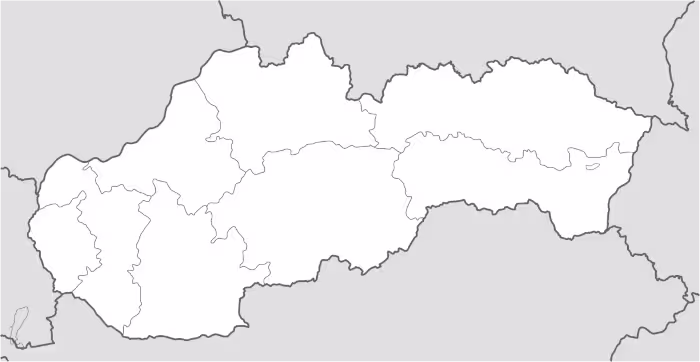
The map shows international borders as well as the boundaries of Slovakia. The map does not label regions or large cities, and doesn’t include rivers.
Slovakia is located in Central Europe and is a landlocked country positioned between Western and Eastern Europe. It borders Poland to the north, the Czech Republic and Austria to the west, Hungary to the south, and Ukraine to the east. The country covers an area of approximately 49,000 square kilometers, making it a medium-to-small-sized state within the Central European region.
Several important rivers cross Slovak territory and belong to major European river basins. The most significant is the Danube River, which flows along the southern part of the country and passes through the capital city, Bratislava. Other key rivers include the Váh, the longest river entirely within Slovakia, as well as the Hron and rivers connected to the Tisza basin in the east. These waterways are essential for agriculture, energy production, and water supply.
Slovakia’s geography is predominantly mountainous, especially in the northern half of the country, where the Carpathian Mountains extend across the landscape. This includes the High Tatras, which contain the highest peaks in Slovakia. In contrast, the southern regions are characterized by lowlands and fertile plains that support agriculture and denser settlement. Despite its relatively small size, Slovakia displays considerable geographical diversity.
Administratively, Slovakia is divided into eight regions (kraje), which are further subdivided into districts. Each region has its own local governmental structures responsible for regional administration. The country has a population of approximately 5.4 million inhabitants, with the highest population concentrations in major urban centers such as Bratislava and Košice, particularly in the western part of the country.

Map of Slovakia
Find more content on Mentes Liberadas
That’s all for this article. I hope you enjoyed it.
You can make a donation to Mentes Liberadas through our Ko-Fi account. This way, you’ll be supporting the site, helping us create more content, resources, and online tools.
Thank you for taking the time to read.
See you in the next article on Mentes Liberadas.