
Here you’ll find a map with the political divisions of Hungary, available for free download and printing.
This PDF-format map is an educational tool designed for students, teachers, and anyone interested in learning more about the country’s geography.
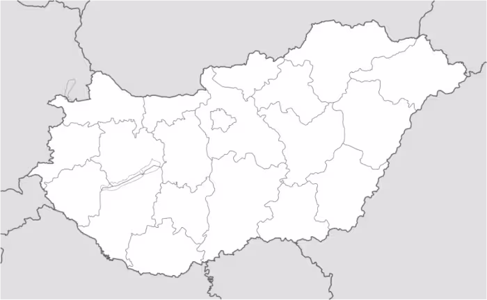
The map shows international borders as well as the boundaries of Hungary. The map does not label regions or large cities, and doesn’t include rivers.
Hungary is a landlocked country located in Central Europe, positioned at the heart of the Carpathian Basin. It borders Slovakia to the north, Ukraine to the northeast, Romania to the east and southeast, Serbia and Croatia to the south, and Slovenia and Austria to the west. Its total area is approximately 93,000 square kilometers, placing it among the medium-sized countries in the region.
The country’s most important rivers include the Danube, which flows from north to south and divides Budapest into Buda and Pest, and the Tisza, which crosses much of the eastern plains. Hungary’s geography is defined by vast lowlands—particularly the Great Hungarian Plain—along with gentle hills in the north and west, and notable lakes such as Lake Balaton, the largest in Central Europe.
Administratively, Hungary is divided into 19 counties, along with the capital city, Budapest, which has a status equivalent to that of a county. The country’s population is around 9.6 million inhabitants, with a significant concentration in urban areas, especially in the capital. Its strategic location and diverse landscape have contributed to its historical and cultural importance within Europe.

Map of Hungary
Find more content on Mentes Liberadas
That’s all for this article. I hope you enjoyed it.
You can make a donation to Mentes Liberadas through our Ko-Fi account. This way, you’ll be supporting the site, helping us create more content, resources, and online tools.
Thank you for taking the time to read.
See you in the next article on Mentes Liberadas.