
Here you’ll find a map with the political divisions of the Czech Republic, available for free download and printing.
This PDF-format map is an educational tool designed for students, teachers, and anyone interested in learning more about the country’s geography.
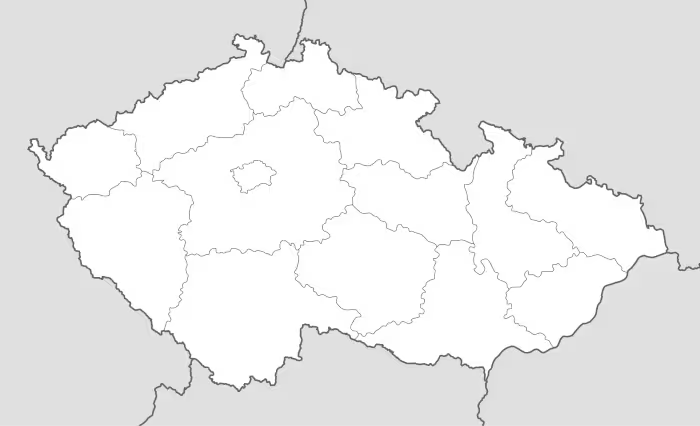
The map shows international borders as well as the boundaries of Czech Republic. The map does not label regions or large cities, and doesn’t include rivers.
The Czech Republic is located in Central Europe and occupies a strategic position in the heart of the continent. It borders Germany to the west and northwest, Poland to the north, Slovakia to the east, and Austria to the south. Covering approximately 78,900 square kilometers, it is considered a medium-sized country within the region. Despite being landlocked, its central location has historically supported trade and cultural exchange between Western and Eastern Europe.
The country is crossed by several important rivers, the most notable being the Vltava (Moldau), the longest river in the Czech Republic, which flows through Prague before joining the Elbe (Labe). The Elbe itself is vital for inland navigation, linking the nation to Germany and ultimately the North Sea. Other significant rivers include the Morava, which flows south toward Slovakia, and the Oder, which rises in Czech territory and continues into Poland.
The nation’s geography features mountain ranges that form a natural border—such as the Sudetes and the Ore Mountains—alongside fertile plateaus and valleys in the interior.
Administratively, the Czech Republic is divided into 14 regions (kraje), including the capital city of Prague, which holds a special status. Each region has its own local competencies and cultural identity, especially within the historic areas of Bohemia, Moravia, and Czech Silesia. The population stands at around 10.7 million inhabitants, concentrated in urban centers such as Prague, Brno, and Ostrava, and noted for a high level of human development and institutional stability.

Map of Czech Republic
Find more content on Mentes Liberadas
That’s all for this article. I hope you enjoyed it.
You can make a donation to Mentes Liberadas through our Ko-Fi account. This way, you’ll be supporting the site, helping us create more content, resources, and online tools.
Thank you for taking the time to read.
See you in the next article on Mentes Liberadas.