
Here you’ll find a map with pollitical divisions of Canada, available for free download and printing.
This PDF-format map is an educational tool designed for students, teachers, and anyone interested in learning more about the country’s geography.
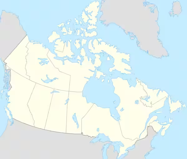
The map displays international borders and provincial boundaries but does not include rivers or labels for regions and cities.
You can download the map in A4 size and it can be used in the classroom or at home—for school assignments or personal projects.

Find more content on Mentes Liberadas
That’s all for this article. I hope you enjoyed it.
You can make a donation to Mentes Liberadas through our Ko-Fi account. This way, you’ll be supporting the site, helping us create more content, resources, and online tools.
Thank you for taking the time to read.
See you in the next article on Mentes Liberadas.