
Here you’ll find a map with the political divisions of the Bosnia and Herzegovina, available for free download and printing.
This PDF-format map is an educational tool designed for students, teachers, and anyone interested in learning more about the country’s geography.
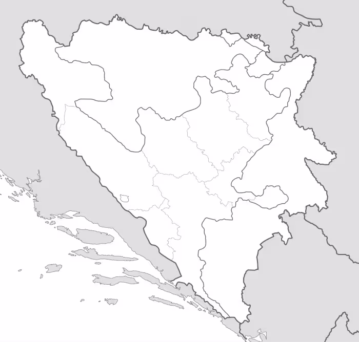
The map shows international borders as well as the boundaries of Bosnia and Herzegovina. The map does not label regions or large cities, and doesn’t include rivers.
Bosnia and Herzegovina is located in southeastern Europe, within the Balkan region. It borders Croatia to the north, west, and southwest, Serbia to the east, and Montenegro to the southeast. The country also has a very short coastline along the Adriatic Sea, centered around the town of Neum. Its total area is approximately 51,200 square kilometers, placing it among the medium-sized countries of the Balkans.
The country has a well-developed river network, mainly divided between the Danube basin and the Adriatic Sea basin. The Sava River is the most important waterway and forms much of the northern border. Other significant rivers include the Bosna, which gives the country its name, the Drina, marking part of the border with Serbia, the Una, and the Neretva, the latter flowing southward into the Adriatic Sea. These rivers have historically supported settlement, agriculture, and economic activity.
Bosnia and Herzegovina’s geography is predominantly mountainous, shaped largely by the Dinaric Alps, with numerous valleys, plateaus, and rugged terrain. The central and southern regions are characterized by steep landscapes, while the northern areas include lower, more fertile lands that form part of the Pannonian Plain. The climate is mainly continental, with Mediterranean influences in the south, contributing to the country’s environmental diversity.
Administratively and politically, Bosnia and Herzegovina is divided into two entities: the Federation of Bosnia and Herzegovina and Republika Srpska, along with the Brčko District, which has a special administrative status. This complex structure was established by the Dayton Peace Agreement. The country has a population of approximately 3.2 million people, with major urban centers including Sarajevo, Banja Luka, and Mostar, within a broader context of ongoing demographic and economic challenges.

Map of Bosnia and Herzegovina
Find more content on Mentes Liberadas
That’s all for this article. I hope you enjoyed it.
You can make a donation to Mentes Liberadas through our Ko-Fi account. This way, you’ll be supporting the site, helping us create more content, resources, and online tools.
Thank you for taking the time to read.
See you in the next article on Mentes Liberadas.