
On this page, you can download a free printable map of Kentucky, located in the Southeastern region of the United States. This map is perfect for school projects, homework, or personal use at home.
Kentucky became the 15th state of the United States on June 1, 1792. It borders Illinois, Indiana, and Ohio to the north (across the Ohio River), West Virginia and Virginia to the east, Tennessee to the south, and Missouri to the west (across the Mississippi River). With a population of about 4.5 million, Kentucky is known for its rich cultural heritage, horse racing, bourbon distilleries, bluegrass music, and beautiful natural landscapes.
The state’s geography is remarkably diverse — from the rolling Bluegrass Region in the center to the Appalachian Mountains in the east and the Jackson Purchase lowlands in the west. Kentucky is also home to the Mammoth Cave National Park, which contains the largest cave system in the world, and numerous rivers, including the Ohio, Cumberland, and Tennessee Rivers.
This Kentucky map highlights the state’s major natural features and regions, showing its waterways and varied terrain. The map comes without labels or latitude/longitude lines, making it ideal for educational use and classroom activities.
Designed for easy printing on Letter-size paper, this free Kentucky map PDF is available in both color and black & white versions. Download your copy today and use it at school or at home.
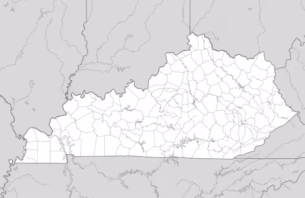

Kentucky State Map
Find more content on Mentes Liberadas
That’s all for this article. I hope you enjoyed it.
You can make a donation to Mentes Liberadas through our Ko-Fi account. This way, you’ll be supporting the site, helping us create more content, resources, and online tools.
Thank you for taking the time to read.
See you in the next article on Mentes Liberadas.