
On this page, you can download a free printable map of Kansas, located in the Midwestern region of the United States. This map is perfect for school projects, homework, or personal use at home.
Kansas became the 34th state of the United States on January 29, 1861. It borders Nebraska to the north, Missouri to the east, Oklahoma to the south, and Colorado to the west.
With a population of about 2.9 million, Kansas is known for its vast plains, strong agricultural tradition, and role as one of the country’s top producers of wheat, corn, and sunflowers. Major cities include Topeka (the state capital), Wichita, and Overland Park.
This Kansas map highlights the state’s flat to gently rolling landscape and shows major rivers, including the Kansas River and Arkansas River. The map comes without labels or latitude/longitude lines, making it ideal for educational activities.
Designed for easy printing on Letter-size paper, this free Kansas map PDF is available in both color and black & white versions. Download your copy today and use it in the classroom or at home.
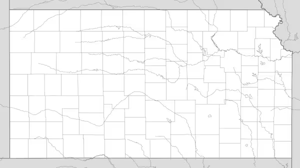

Kansas State Map
Find more content on Mentes Liberadas
That’s all for this article. I hope you enjoyed it.
You can make a donation to Mentes Liberadas through our Ko-Fi account. This way, you’ll be supporting the site, helping us create more content, resources, and online tools.
Thank you for taking the time to read.
See you in the next article on Mentes Liberadas.