
On this page, you can download a free printable map of Alaska, the northernmost state of the United States. This map is perfect for school projects, homework, or personal use at home.
Alaska became the 49th state of the United States on January 3, 1959. The territory was purchased from Russia in 1867, an acquisition known as the Alaska Purchase.
Alaska does not share borders with any U.S. state; instead, it borders Canada‘s Yukon and British Columbia to the east and is surrounded by the Arctic Ocean to the north and the Pacific Ocean to the south and west.
With a population of roughly 730,000 people, Alaska is known for its vast wilderness, Arctic and subarctic climates, and dramatic landscapes, including mountains, glaciers, and expansive forests.
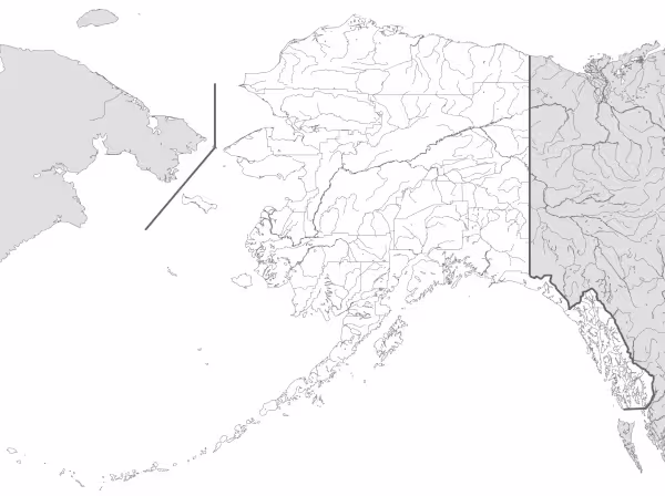
This Alaska map highlights the state’s major geographic regions, including the Alaska Range, the Aleutian Islands, and its extensive coastline—the longest of any U.S. state. The map comes without labels or latitude/longitude lines, making it ideal for educational activities and classroom use.
Designed for easy printing on Letter-size paper, this free Alaska map PDF is available in both color and black & white versions. Download your copy today and use it in class or at home.

Alaska State Map
Find more content on Mentes Liberadas
That’s all for this article. I hope you enjoyed it.
You can make a donation to Mentes Liberadas through our Ko-Fi account. This way, you’ll be supporting the site, helping us create more content, resources, and online tools.
Thank you for taking the time to read.
See you in the next article on Mentes Liberadas.