
On this page, you can download a free printable map of Alabama, located in the Southeastern region of the United States. This map is perfect for school projects, homework, or personal use at home.
Alabama became the 22nd state of the United States on December 14, 1819. It borders Tennessee to the north, Georgia to the east, Florida and the Gulf of Mexico to the south, and Mississippi to the west. With a population of around 5 million people, Alabama is known for its rich cultural heritage, historic role in the Civil Rights Movement, and a mix of modern cities and rural landscapes.
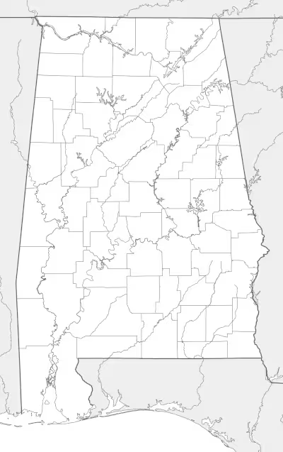
This Alabama map highlights the state’s diverse geography, from the forested Appalachian foothills in the north to the fertile plains of the Black Belt region and the sandy coastal areas along the Gulf of Mexico. Major rivers such as the Alabama River, Tennessee River, and Mobile River play an important role in the state’s economy and environment.
Alabama’s climate is humid and subtropical, featuring hot summers and mild winters—ideal for agriculture and outdoor activities year-round. Its capital, Montgomery, is complemented by other major cities like Birmingham, Mobile, and Huntsville, each contributing to the state’s identity in industry, science, and culture.
Designed for easy printing on Letter-size paper, this free Alabama map PDF is available in both color and black & white versions. Download your copy today and use it in the classroom or at home.

Alabama State Map
Find more content on Mentes Liberadas
That’s all for this article. I hope you enjoyed it.
You can make a donation to Mentes Liberadas through our Ko-Fi account. This way, you’ll be supporting the site, helping us create more content, resources, and online tools.
Thank you for taking the time to read.
See you in the next article on Mentes Liberadas.