
On this page, you can download a free printable map of Maine, located in the northeastern United States within the New England region. This map is suitable for school projects, homework, or personal use at home.
Maine became the 23rd state of the United States on March 15, 1820. It borders New Hampshire to the west, the Canadian provinces of Quebec and New Brunswick to the north and northeast, and is surrounded by the Atlantic Ocean to the south and southeast. With a population of about 1.3 million, Maine is known for its extensive forests, rugged coastline, historic lighthouses, fishing and maritime traditions, and outdoor recreational opportunities. The state capital is Augusta, while Portland is its largest city.
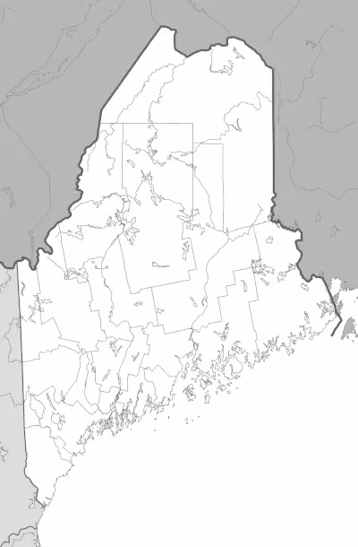
This Maine map highlights the state’s major land and water features, including coastal areas, mountain regions, and key lakes and rivers. The map is provided without labels or latitude/longitude lines, making it ideal for educational activities and custom annotation.
Designed for easy printing on Letter-size paper, this free Maine map PDF is available in both color and black-and-white versions. Download your copy today and use it in the classroom or at home.

Maine State Map
Find more content on Mentes Liberadas
That’s all for this article. I hope you enjoyed it.
You can make a donation to Mentes Liberadas through our Ko-Fi account. This way, you’ll be supporting the site, helping us create more content, resources, and online tools.
Thank you for taking the time to read.
See you in the next article on Mentes Liberadas.