
On this page, you can download a free printable map of New Hampshire, located in the New England region of the northeastern United States. This map is suitable for school projects, homework, or personal use at home.
New Hampshire became the 9th state of the United States on June 21, 1788. It borders Quebec (Canada) to the north, Maine and the Atlantic Ocean to the east, Massachusetts to the south, and Vermont to the west. With a population of about 1.4 million, New Hampshire is known for its historic towns, forested landscapes, and notable role in the U.S. presidential primary elections. The state capital is Concord, while Manchester is its largest city.
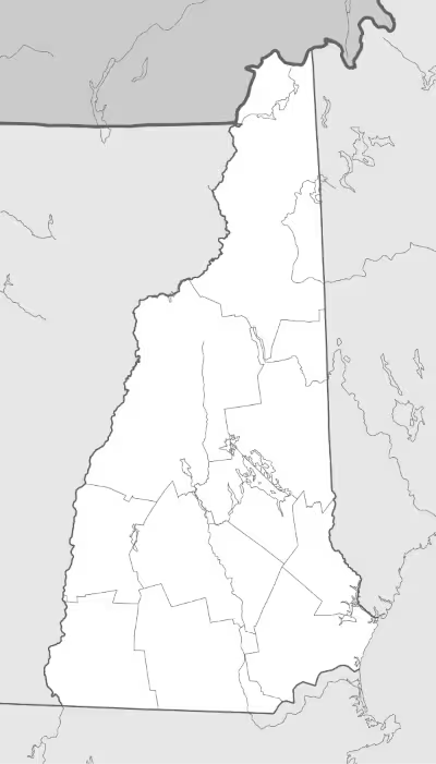
This New Hampshire map highlights the state’s major landforms, including the White Mountains, as well as key rivers and lakes. The map is provided without labels or latitude/longitude lines, making it ideal for educational activities and custom labeling.
Designed for easy printing on Letter-size paper, this free New Hampshire map PDF is available in both color and black-and-white versions. Download your copy today for use in the classroom or at home.

New Hampshire State Map
Find more content on Mentes Liberadas
That’s all for this article. I hope you enjoyed it.
You can make a donation to Mentes Liberadas through our Ko-Fi account. This way, you’ll be supporting the site, helping us create more content, resources, and online tools.
Thank you for taking the time to read.
See you in the next article on Mentes Liberadas.