
On this page, you can download a free printable map of Hawaii, located in the central Pacific Ocean. This map is well suited for school projects, homework, or personal reference at home.
Hawaii became the 50th state of the United States on August 21, 1959. It is the only U.S. state composed entirely of islands and the only one not located in North America. Surrounded by the Pacific Ocean, Hawaii is known for its volcanic landscapes, tropical climate, and rich cultural heritage. With a population of about 1.4 million, the state’s capital and largest city is Honolulu, located on the island of Oahu.
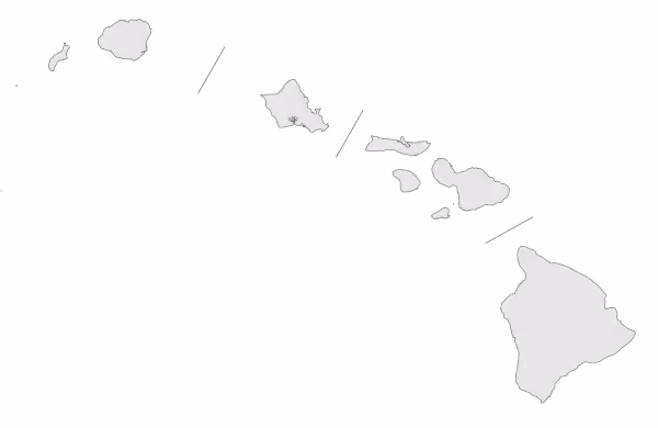
This Hawaii map highlights the major islands of the archipelago and shows key geographic features, including mountain ranges and volcanic areas. The map is provided without labels or latitude/longitude lines, making it useful for educational exercises and custom annotations.
Designed for convenient printing on Letter-size paper, this free Hawaii map PDF is available in both color and black-and-white versions. Download your copy today for use in the classroom or at home.

Hawii State Map
Find more content on Mentes Liberadas
That’s all for this article. I hope you enjoyed it.
You can make a donation to Mentes Liberadas through our Ko-Fi account. This way, you’ll be supporting the site, helping us create more content, resources, and online tools.
Thank you for taking the time to read.
See you in the next article on Mentes Liberadas.