
On this page, you can download a map of the Americas ready to print in A4 format, which also adapts perfectly to US Letter size. The file includes two versions: one in color and another in black and white, ideal for educational use, school projects, or simply to learn about the countries of the American continent.
The Americas make up one vast landmass stretching from the Arctic in the north to Patagonia in the south. It is usually divided into North America, Central America, and South America. Together, they cover an area of more than 42 million square kilometers, representing about 28% of the Earth’s land surface.
There are 35 sovereign countries in the Americas, plus several territories and dependencies. The largest country is Canada, followed by the United States and Brazil. The smallest sovereign nation is Saint Kitts and Nevis, located in the Caribbean.
Geographically, the continent is incredibly diverse. It includes vast mountain ranges like the Rocky Mountains in North America and the Andes in South America—the longest continental mountain range in the world. Between them lie immense plains, tropical rainforests, arid deserts, and frozen polar regions. This diversity makes the Americas home to a wide range of climates, ecosystems, and natural wonders.
The total population of the Americas exceeds 1 billion people. The most spoken languages are English, Spanish, and Portuguese, though hundreds of indigenous languages are still used in many regions.
Among the most important rivers are the Amazon River, the largest by water volume in the world; the Mississippi–Missouri River system, which runs across the United States; and the Orinoco and Paraná Rivers, which flow through South America.
The highest peaks in the Americas include Aconcagua in Argentina, standing at about 6,961 meters (22,838 feet), the Denali (Mount McKinley) in Alaska, and Mount Logan in Canada. These mountains attract climbers from all over the world.
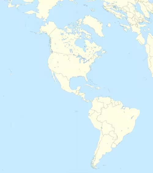
The map of the Americas available for download here will help you visualize all these geographical features and better understand how this vast and diverse continent is organized.

Map of the Americas
Find more content on Mentes Liberadas
That’s all for this article. I hope you enjoyed it.
You can make a donation to Mentes Liberadas through our Ko-Fi account. This way, you’ll be supporting the site, helping us create more content, resources, and online tools.
Thank you for taking the time to read.
See you in the next article on Mentes Liberadas.